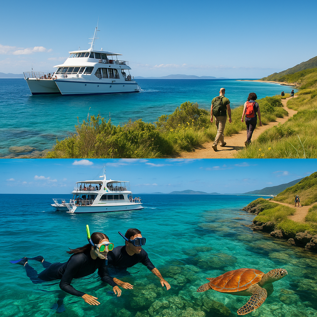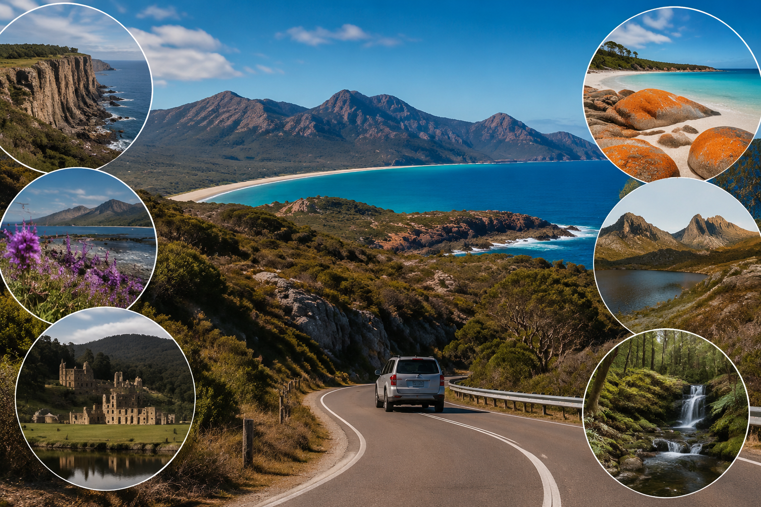
The journey between Sydney and Melbourne is often completed by air or by taking the inland Hume Highway. However, the coastal route provides a more immersive view of southeastern Australia, passing beaches, fishing towns, forests, wildlife habitats and national parks.
The trip can cover more than 1,000 kilometers depending on detours. Travelers should allow at least five days, although seven to ten days creates a more balanced schedule.
Sydney to Jervis Bay
South of Sydney, the road passes through the Royal National Park region and continues toward Wollongong and Kiama. The Sea Cliff Bridge is one of the most recognizable sections, with the road curving above the Pacific Ocean.
Kiama is known for its blowhole, coastal paths and historic town center. From there, Jervis Bay becomes a logical overnight destination.
The bay is associated with pale beaches, clear water and marine wildlife. Hyams Beach receives considerable attention, but nearby beaches may offer a quieter experience during busy periods.
Booderee National Park, located within the Jervis Bay Territory, combines coastal landscapes with Aboriginal cultural significance. Visitors should respect access rules and stay on marked trails.
The South Coast and Sapphire Coast
Continuing south, travelers can stop in Batemans Bay, Narooma, Bermagui and Eden. Narooma is especially attractive for its coastal scenery and access to marine excursions.
Eden’s history is closely connected to whaling, fishing and migration. The town also serves as a practical rest point before crossing into Victoria.
This section of the route demonstrates why flexible planning matters. Bushfire risk, heavy rain and roadwork can affect access, particularly during periods of extreme weather. Travelers should monitor official state emergency and transport updates rather than relying only on navigation applications.
Crossing into Victoria
Mallacoota is one of the first major destinations after entering Victoria. Surrounded by waterways, beaches and forest, it offers a remote atmosphere despite being accessible by sealed roads.
Farther west, Lakes Entrance is known for the Gippsland Lakes system, where inland waterways meet the ocean. The area supports boating, fishing and birdwatching.
Wilsons Promontory National Park can be added as a major detour before reaching Melbourne. Known locally as “the Prom,” the park contains granite mountains, beaches and walking trails. Wildlife such as wombats, kangaroos and emus may be visible, particularly around quieter roads and campsites.
Travelers can review park conditions and access information through Parks Victoria, an official source for closures, safety warnings and visitor guidance.
Electric Vehicles and Changing Road-Trip Habits
By the mid-2020s, electric vehicles had become increasingly relevant to Australian road-trip planning. The Sydney-to-Melbourne coastal route is possible in an EV, but charging locations are less frequent than in major cities.
Drivers should identify backup charging points and avoid assuming that every station will be available. Charging time can be incorporated into meal breaks or sightseeing stops, making the slower coastal journey suitable for EV travel.
Fuel-powered vehicles also require planning. Some sections include long distances between large service centers, particularly when detouring through national parks.
Creating a Realistic Itinerary
A practical route may include overnight stays in Jervis Bay, Narooma, Eden or Mallacoota, Lakes Entrance and the Wilsons Promontory region.
Driving fewer hours each day creates more time for walking, wildlife observation and local dining. It also reduces fatigue, one of the most important road-safety risks on long Australian drives.
The coastal route is not the fastest way from Sydney to Melbourne, but it reveals how geography, climate and regional life change between Australia’s two largest cities.